Help protect Nottinghamshire from flooding and have your say on Preliminary Flood Risk Assessment
and live on Freeview channel 276
The PFRA identifies areas of significant flood risk and includes information, as well as associated maps, on past and potential future flooding and the consequences of that flooding.
Consultation is now open and runs until April 23.


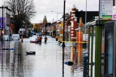
Gary Wood, council head of highways and transport, said: “The flooding in June 2007, July 2013 and the winter of 2019/20 clearly highlighted how vulnerable Nottinghamshire communities are to localised flooding.
Advertisement
Hide AdAdvertisement
Hide Ad“The findings of the PFRA will be used to inform the local flood risk management strategy and prioritise resources for those areas at greatest risk of flooding across the county.”
The PFRA and associated maps are available to view and download at bit.ly/3Minb7z
Comments and views on the PFRA can be made using the online form, by emailing [email protected] or by calling 0300 500 8080.