
Flood alert issued for parts of Mansfield, Clipstone, Edwinstowe and Ollerton
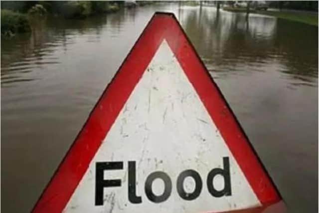
After excessive rainfall, the risk of flooding on roads and farmland remains, particularly in low-lying agricultural areas and roads around Mansfield, the Sherwood Forest Caravan Park in Clipstone, Edwinstowe, and Ollerton.
River levels remain high but are beginning to fall at the Whitewater Bridge river gauge due to persistent heavy rainfall.
As a result, the risk of flooding on roads and farmland continues.
The areas where flooding is “possible” include low-lying agricultural land and roads around Mansfield, the Sherwood Forest Caravan Park at Clipstone, Edwinstowe, Ollerton, Whitewater Lane at Whitewater Bridge, and West Drayton.

No further rainfall is forecast, but Floodline expect river levels to remain high until this afternoon (December 9).
Floodline is closely monitoring the situation.
A spokesperson for the service urged the public to avoid low-lying footpaths by local watercourses and warned drivers to plan alternate routes to avoid potentially flooded roads.
To check the status of road closures, please visit the One Network live map.
This message will be updated by 5pm this evening (Monday, December 9), or as the situation changes.
For more updates, see: check-for-flooding.service.gov.uk/target-area/034WAF430.