


Take a look at the coronavirus stats area by area, for the Mansfield area. The figures are according to the latest numbers on the Government’s interactive case rate map.
The stats reveal mainly rising figures for many of the Mansfield District Council wards and are shown per 100,000 people over a seven-day period up, to November 16, 2021.
To see the government's interactive map, and latest national Covid 19 figures, see: https://coronavirus.data.gov.uk/
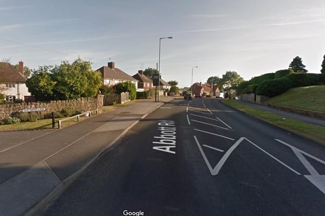
1. Rising cases at Abbot Road and Pleasley Hill
UP: Abbott Road and Pleasley Hill in the seven days to November 16, 2021, the total cases are 34. The rate has increased relative to the previous week.8 (30.8%) The case rate per 100,000 people is now 400.8. Photo: Google Map
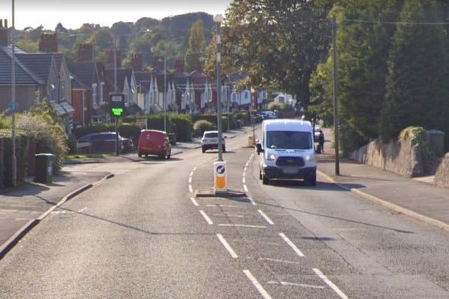
2. Increases seen at King's Walk, Berry Hill and Oakham
UP: King's Walk, Berry Hill & Oakham in the seven days to November 16, 2021total cases are 56. The rate has increased relative to the previous week.32 (133.3%) with the case rate per 100,000 people at 447.4. Photo: Google Map
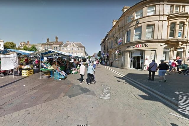
3. Cases are dropping in Mansfield town centre and Broomhill
DOWN: Mansfield town centre and Broomhill in the seven days to November 16, 2021total cases are 19. The rate has decreased relative to the previous week.-20 (-51.3%) with the case rate per 100,000 people at 179.2. Photo: Google Map
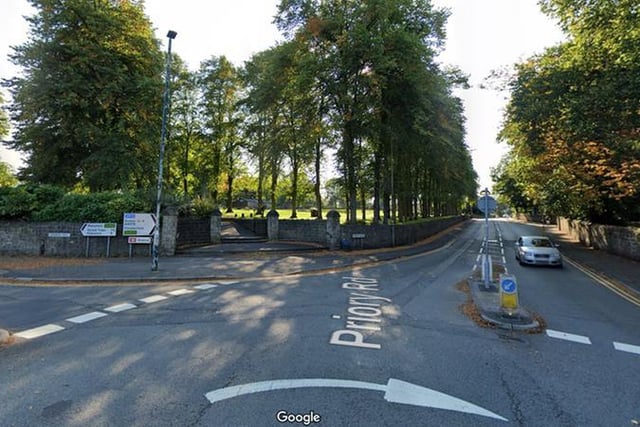
4. Figures remain constant on previous week in Yeoman Hill and Maun Valley
STAYED THE SAME: Yeoman Hill and Maun Valley. In the seven days to November 16, 2021 total cases were 23. The rate has not changed relative to the previous week.0 (0.0%). The case rate per 100,000 people is 385.8. Photo: Google Map