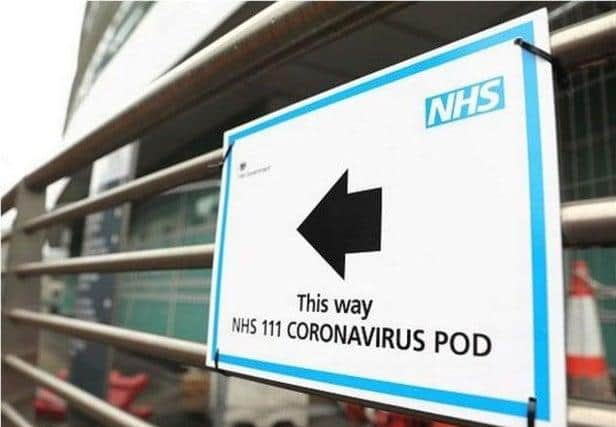
Coronavirus map reveals the areas in Mansfield and Ashfield with the highest Covid-19 cases
A new coronavirus map has revealed the areas in Mansfield and Ashfield with the highest number of Covid-19 cases, according to data from Public Health England.
The interactive map reveals the number of confirmed positive coronavirus cases between July 6 to July 12, 2020 which were reported to Public Health England by July 15.
The data reveals there is a low risk of a local outbreak in Mansfield or Ashfield as only one ward has three Covid-19 infections.
Public Health England have confirmed Kirkby is the only neighbourhood of the surrounding towns to have three positive cases between July 6 to July 12.
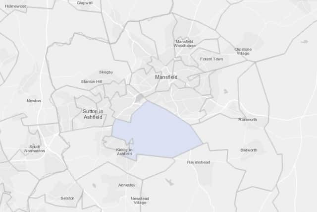

While the remaining neighbourhoods in Mansfield and Ashfield are confirmed reported to have either zero or a maximum of two positive virus cases in the same week.
In Leicester, where a local lockdown has been imposed, the city had 51 confirmed Covid-19 cases in the week ending July 12.
A message from the Editor:
Thank you for reading this story on our website. While I have your attention, I also have an important request to make of you.