Coronavirus map shows the one area of Mansfield that is now almost coronavirus free
and live on Freeview channel 276
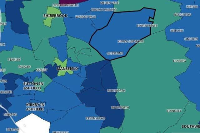
An interactive map showing the number of confirmed positive cases in each area, based on Government data, reveals there were fewer than three cases in Annesley and Kirkby Woodhouse in the seven days to December 2 –the latest date for which reliable data is available.
The exact number of positive cases there is not known because data is not given for areas with three or fewer cases to protect individuals' identities.
Advertisement
Hide AdAdvertisement
Hide AdNine other areas of Mansfield – Town Centre, Abbott Road and Pleasley Hill, Yeoman Hill and Maun Valley, Manor, Hornby and Peafields, Sutton Forest Side and Newcross, Sutton Leamington and Central, The Dales and South Skegby, Stanton Hill and Langwith, Shirebrook and Pleasley– recorded ten or fewer new cases.

The latest infection rate in Mansfield is 126.2 per 100,000 people for the week up to December 3. The week beforehand – the seven days up to November 26 – it was 161.9.
This reflects a decline in the number of new cases reported of 177 to 138 across those weeks.
Data for the most recent four days (December 4-7) has been excluded as it is incomplete and does not reflect the true number of cases.
Advertisement
Hide AdAdvertisement
Hide AdMansfield has been placed under Tier 3 restrictions until at least December 16, when the Government will review progress made in slowing the spread of Covid-19.
On Sunday, NHS England confirmed a further three patients who tested positive for coronavirus have died in the Mansfield area, bringing the total number of coronavirus-related deaths in the town to 218.